
Cadastral and Boundary Surveys
Boundary identification, site boundary fixing and the survey documentation that accompanies land transactions and subdivisions.
Saif Murtuza · Mauritius
Cadastral, topographic, engineering, coastal, bathymetric and drone surveys for property owners, developers, engineers and consultants across Mauritius. Reliable measurements for a stronger tomorrow.
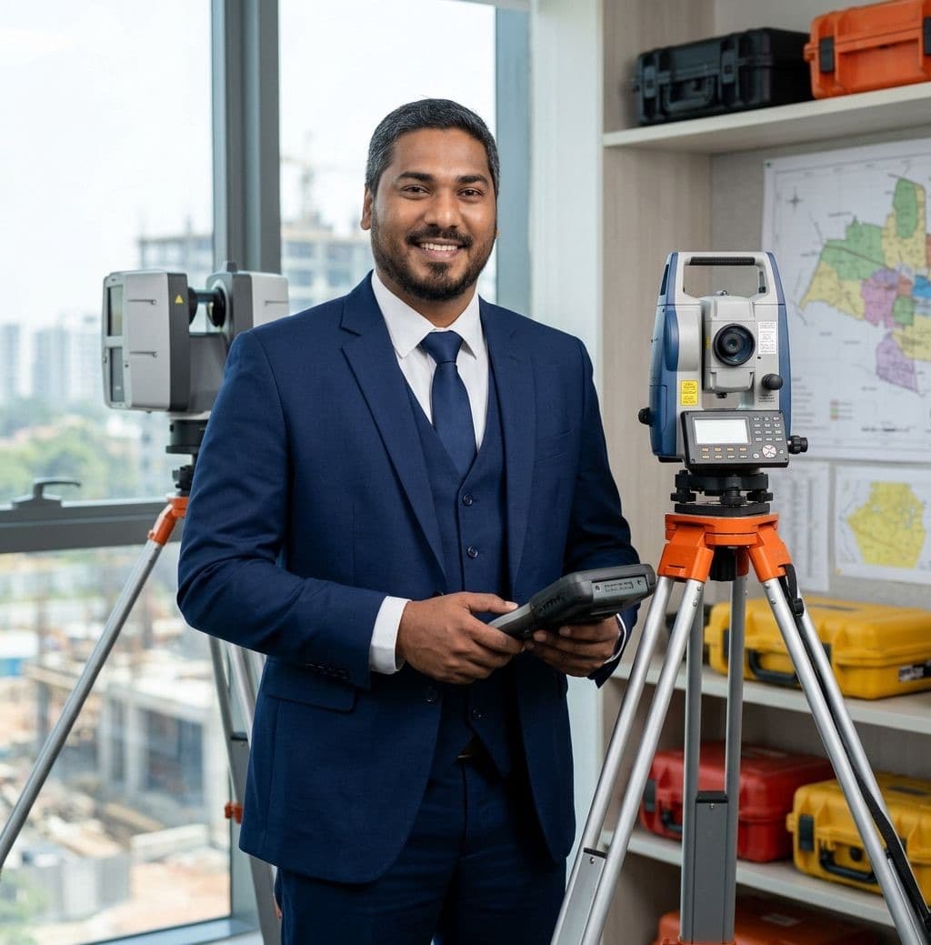
Services
Eight surveying services, from the boundary of a single plot to the bed of a lagoon, delivered with the same attention to accuracy.
Boundary identification, site boundary fixing and the survey documentation that accompanies land transactions and subdivisions.
Detailed site surveys, levels and contour plans that give architects and engineers an accurate picture of the ground.
Control, setting out and corridor surveys for roads, drainage, water networks, buildings and infrastructure.
Survey stations, benchmarks and control networks that every later measurement on a project depends on.
Shoreline and beach topography, tide and current measurement and marine hydrodynamic surveys for coastal sites.
Bed mapping below the waterline for lagoons, port areas, reservoirs, dams and rivers.
Aerial mapping and stockpile volume assessment using photogrammetric drones tied to ground control.
Survey plans, contour plans, sections and acquisition plans prepared in AutoCAD and Civil 3D.
Two disciplines, one surveyor
Saif works across both land and coastal surveying, so projects that straddle the shoreline are measured as one continuous site.
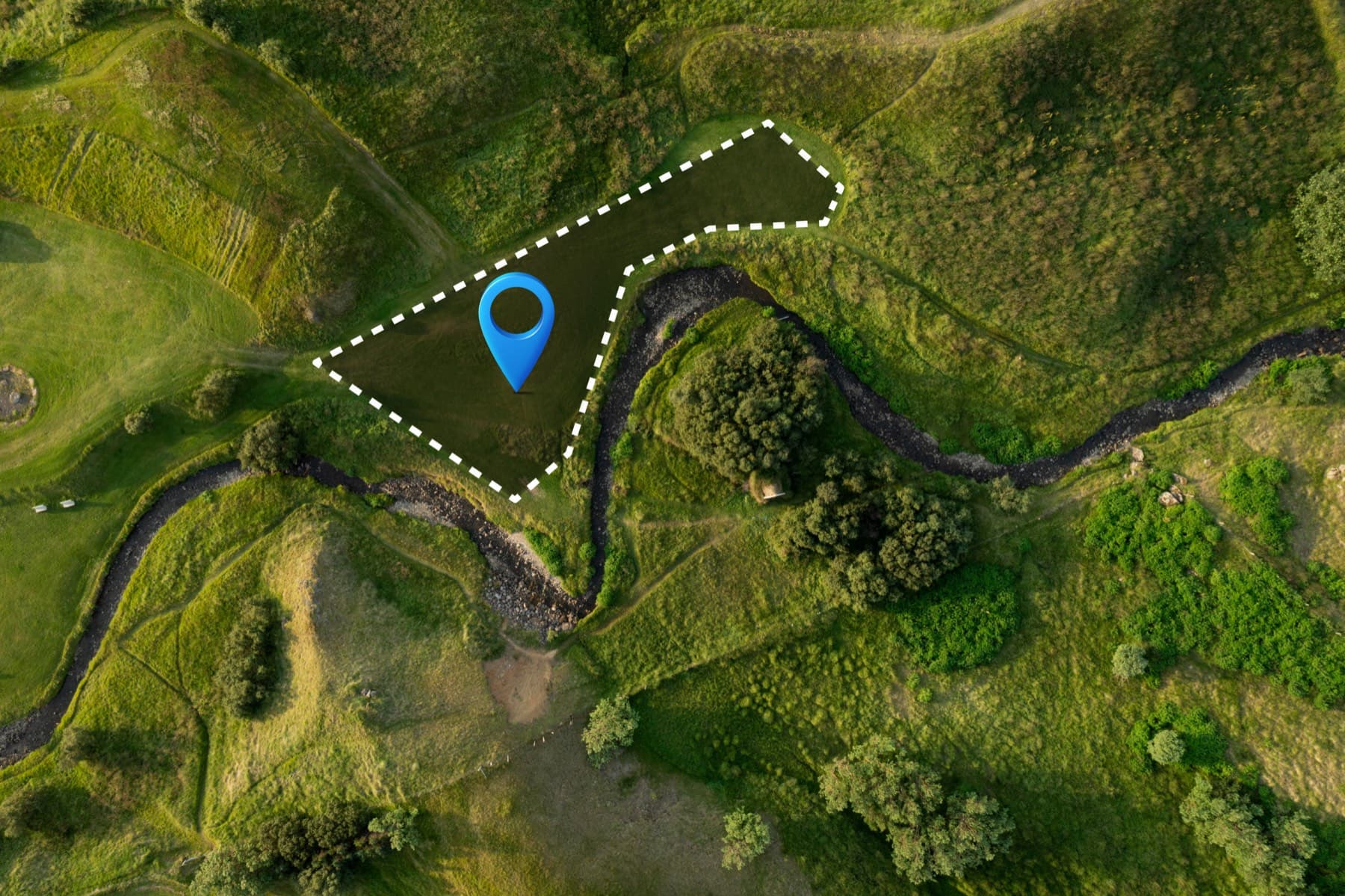
On land
Boundaries, levels, control and setting out for plots, buildings, subdivisions and infrastructure across the island.
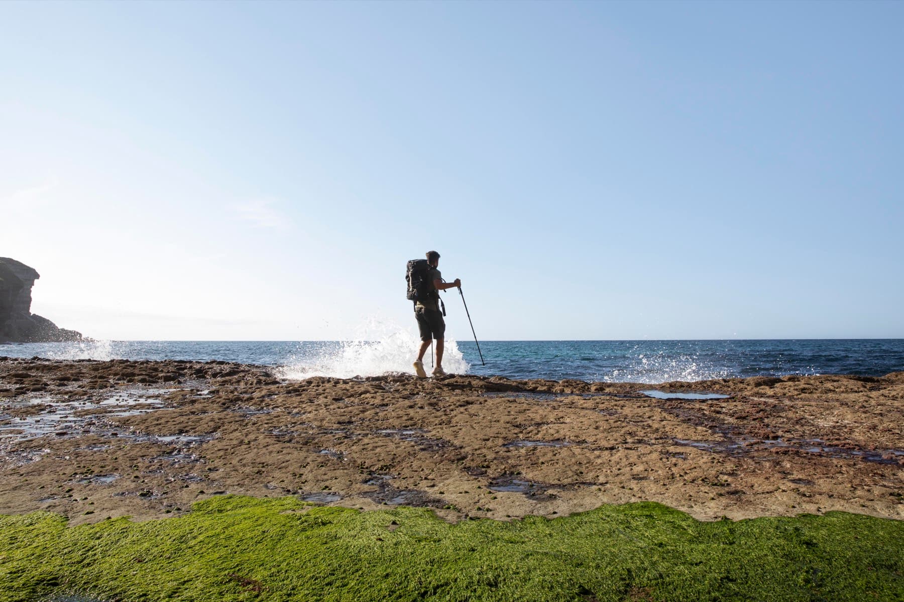
On the coast
Shoreline, lagoon and port measurement for hotels, coastal engineers, port authorities and environmental consultants.
Why work with Saif
What a client can expect, based on Saif's qualifications, experience and way of working.

BSc in Geomatics and a Diploma in Land Surveying from the University of Mauritius, with further training in Civil 3D, AutoCAD drafting and drone surveying.
Cadastral, topographic, engineering, coastal, bathymetric and drone surveys on infrastructure, marine, coastal and housing projects across Mauritius and Seychelles.
Photogrammetric drones, AutoCAD and Civil 3D drafting and open-source geospatial tools, with a consistent focus on accuracy and quality delivery.
Direct contact on WhatsApp in English or French, with scope, pricing and deliverables confirmed before any work starts.
Process
A clear sequence from first conversation to delivered plans. Scope and pricing are confirmed for each project, based on its requirements.
A short conversation on WhatsApp or by phone about your site, what the survey is for and when you need it.
Saif confirms the scope, deliverables, timeline and price in writing, based on your project's requirements.
Survey on site with the appropriate instruments, drone or vessel, with access arranged around you.
Survey plans, sections, documentation or digital data delivered in agreed formats, with a walk-through of what they show.
Service area
Saif is based in Mauritius and travels to sites anywhere on the island. His project experience also includes survey work in Seychelles.
Places where Saif has surveyed
Not sure whether your project needs a land survey, a coastal survey or both? Send a message with the site location and Saif will tell you what he would recommend and why.
Questions
Short answers to the questions clients ask most often. The full FAQ covers land, coastal and drone surveys in more depth.
Send Saif a WhatsApp message or use the contact form with your site location and what you need the survey for. He will ask any follow-up questions, then confirm scope, deliverables, timeline and price in writing. Every quote is specific to the project.
The site location (an address or a map pin), the purpose of the survey, any title deed or existing survey plans, architectural or engineering drawings if the survey supports a design, and your preferred dates. If you do not have all of these, get in touch anyway and Saif will guide you.
Typically before buying or selling land, before designing or building, when dividing land into lots, when a boundary is unclear, and at the start of any infrastructure or development project.
By the size and complexity of the site, the type of survey, access and site conditions, the deliverables required and how quickly they are needed. No two sites are the same, so there is no fixed price list; scope and pricing are discussed and confirmed for each project.
Get in touch
Tell Saif about your site and what you need the survey for. He will come back to you with questions, a recommended approach and a written scope and quote.
Prefer to call or email? +230 5493 6973 · surveyor@saifmurtuza.com
